Unnao | Uttar Pradesh | Mysahar.in

About Unnao Uttar Pradesh.
Unnao is a city located in the state of Uttar Pradesh. Which is famous for its industries, factories, delicious cuisine, sanctuaries, and tourist places. Tourist places include Forest Sanctuary, Shiva Temple, Mosque, Nana Rao Park, Kanpur Memorial Church, Buddhist Monastery, Stupa, and the market here which includes leather goods, belts, watches, shoes, quilts, blankets, mosquito nets, warm clothes, zardozi, etc. The city is also known across the country for its cuisine which includes – Petha, Rabri, Pav Bhaji, Kachori, Jalebi, and Masala Samosa. These are all the reasons why this city becomes the best place for tourists. Small shops here get a lot of financial help due to the arrival of tourists.
The number of industries located here is around 10 to 15. These include rice mills, agro, oil refinery mills, food factories, steel industries, leather processing factories, etc. The goods produced by these factories and industries are exported to Kanpur and the surrounding states. Rail routes and roads and highways have an important role in this work.
According to historians, about 166 years ago, in 1856, the city of Unnao came into existence after the British took over the “State of Awadh” at that time. According to the census, there are about “1 lakh 77 thousand” people living in the city. And they mainly use Hindi language, Urdu and other languages are also used by some people in their daily life.
Famous Roads.
- Kanpur Luckwon Highway
- Hardoi Highway
- Raebareili Highway
- Kanpur Road
- Rajdhani Marg
- Civil Line Road
- Lok Nagar Road
- Ring Road
- Station Road
- DSN College Road
- Karowan BK/ Chilaula Road
- MDR 52C Road
- Purwa / Sonik Moad
- Rasulabad Road
- Abbaspur Road
Famous Chowks.
- Lucknow Road Chouraha
- Chota Chouraha
- Bada Chouraha
- Gandhinagar Tiraha
- Parashuram tiraha
- IBP Chouraha
- Barra Chowk
- Marahla Chouraha
- Dostinagar Tiraha
- Azad Marg Chouaha
- Bypass Chouraha (Gadan Khera)
Rivers And Lakes.
- Calan (Nahar)
- Ganga River
- Kevat Talab
Ways Of Transportation.

Transportation is an essential element for the development of any city, which connects the city with many other cities and also makes trade easier. The following are the means of transportation here. The major ways of transportation here are roads, rail roots, and airways.
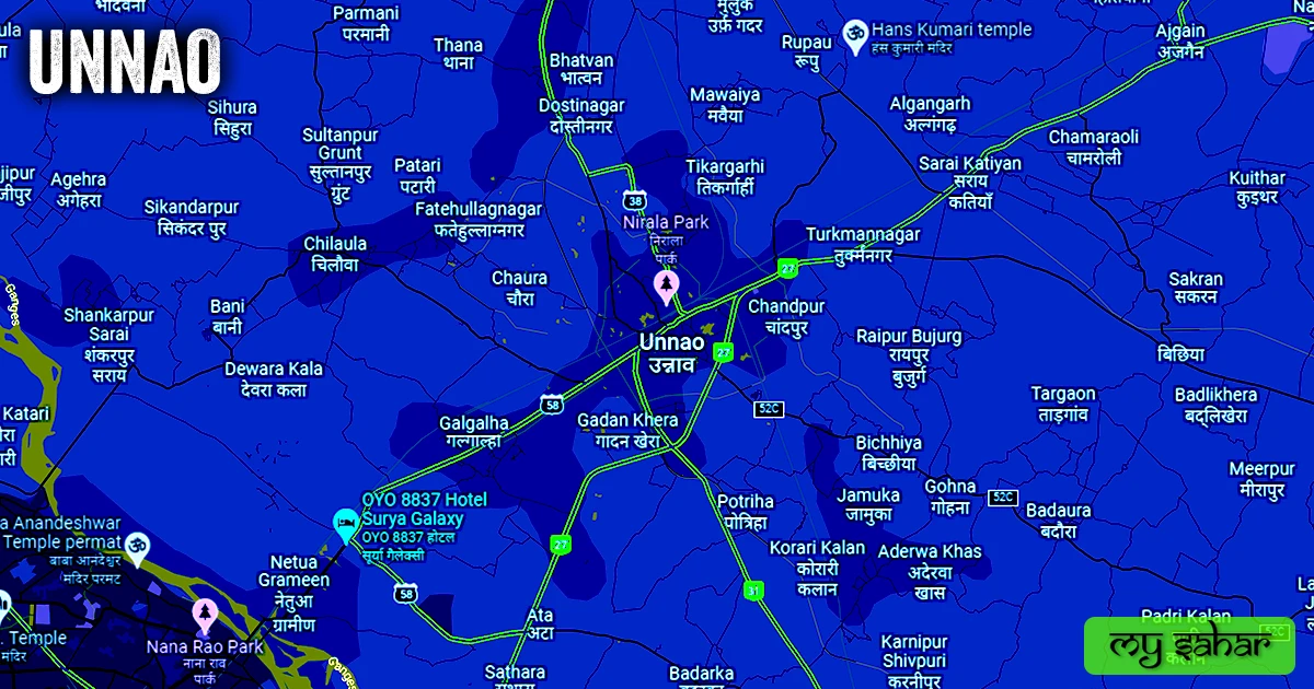
Roads – The NH-27, NH-31, SH-38, and SH-58 are the four national and state highways that connect big cities together which include state capital Luckwon, Kanpur, Raebareili, Hardoi, Kannauj, Bangarmau, and Fatehpur.
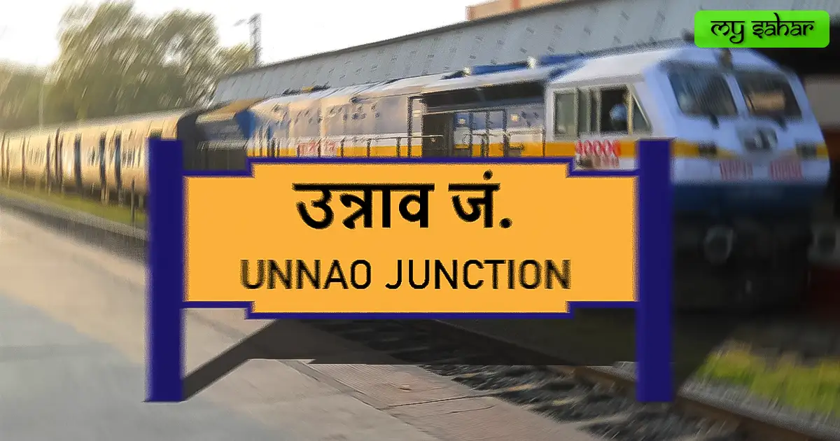
Railways – This city has two railway stations named (Unnao Junction and Magarwara station). The main station here is a junction which means it has routes to different cities its station code is (ON). its length is 610.60 meters and its width is about 80.59 meters. a total of 58 trains operate here on daily basis.
Airways – This city doesn’t have its own airport so in any emergency if you want any air travel you have to go to its nearest airport which is (Kanpur Airport) which is located 24 kilometers away in the north-south direction. it takes almost 36 minutes to reach there.
Pin Code Of City.
people also search on the internet that what is the pin code of this city. The full form of the PIN Code is Postal Index Number Code. And the pin code of the city’s Head Office is – “209801”
Distance From Major Cities.
- Kanpur – 21km
- Bangarmau – 51km
- Mohanlalganj – 60km
- Lucknow – 65km
- Lalganj – 84km
- Fatehpur – 92km
- Raebareli – 93km
- Kannauj – 118km
- Orai – 137km
- Prayagraj – 213km
Latest Weather Updates.
The average temperature of this city is around 30.1°C in summer 40°C and 9°C in winter. And here on average 724.4mm (28.50 inches), every year of precipitation falls. It rains here for about 75.19 days every year. For today’s weather information in this area, click on the link given below.
- Weathertab.com
- Weather.interia.com
- Weatherapi.com
News Agencies.
A list of some famous local news agencies is given below. These include newspapers, magazines, local news channels, etc.
- Excess Bharat News
- Siddhi Today
- ABP News
- Kohinoor News
- India TV 360
- Apka Apna News
- TV Bharat
- Hindustan
- 2 Yo Do India (News Paper Publisher)
- C India News
- ETV News Channel
- Akshat Times
Best Parks.
- Nirala Park
- Dr. Bhimrao Ambedkar Park
- Manoranjan Park
- Vrindavan Garden
- Nirala Nagar Park
- Chandra Shekhar Azad Park
- Bargada Park
- Krishna Park
- Adarsh Central Park
- Samyak Park
Best Hospitals.
- Asha Super Speciality Hospital
- Asha Hospital
- Pt. Uma Shankar Dixit District Hospital
- Divyanshi Hospital
- Unnao Medial Centre
- District Hospital
- Kamalawati Hospital
- Subhi Hospital And Trauma Centre
- Muskan Hospital & Blood Bank
- RC Bajpai Memorial Diagnostic Centre
- Bhavya Shikha Hospital & Diagnostic Center
Best Hotels.
- Hotel Surya Galaxy
- Arora Resorts
- Hotel New Bhajan And Restaurant
- Hotel Geeta Garden
- Hotel Mascot Inn
- Rangoli Guest House
- Hotel Silver Heights
- Unique Resort
- Raghav Resort
- Siya Continental
- Hotel Sona Palace
Best Schools.
- Saint Lawrence School
- Adarsh Vidhya Mandir (NBGEI)
- St. Judes College
- Seth Anandram Jaipuria School
- Saraswati Vidhya Mandir
- Lucknow Public School
- New Era Public School
- Ambika Prasad Memorial Public School
- Mountain Litera Zee School
- Dr. Virendra Swarup Education Centre
Best Colleges.
- Sarasvati Medical College
- DSN PG College
- Government Polytechnic Dee
- Dr. Vivendra Swarup Memorial Trust Group Of Institutions
- Shri Ram Murti Smarak College
- Government Polytechnic College
- ITI Unnao
- Brilliant Academy Inter College
- Khalsa College
- Dr. Radha Krishna Vidya Mandir Inter College
- Sunrise Institute of Engineering Technology & Management
Geography Of Unnao.

The height of this city is about (123 meters) above sea level. Here the registration of vehicles is done in “UP-35”. The area of this city is (70.07 km²) and the border is about 46.87 km. There’s a total of “1 Police Station” located in this city.
Official Government Websites.
- Official website of this city – Click here.
- Municipal Corporation’s website – Click here.
- Official Police Website – Click here.
Famous Areas Of City.
- Husain Nagar
- Chaudrana
- Pitamber Nagar
- Kesar Ganj
- Hajari Tola
- Kasim Nagar
- Priyadarshni Nagar
- Narendra Nagar
- Kabba Khera
- PD Nagar
- Chandpur
- Pooran Nagar
- Gadan Khera
Famous Places To Visit.
Tourists Places –
- Shaheed Chandra Shekhar Azad Bird Sanctuary
- Nirala Park
- Memorial site Devi Charan Yadav
- Sardar Patel Vikas Dwar
- Badarka Fort
Temples & Masques –
- Maa Kalyani Mandir
- Jama Masjid
- Maa Poorna Devi Dham
- Balaji Mandir
- Siddheshwar Mahadev Temple
- Sai Mandir
- Bhoori Devi Mandir
- Sheetla Devi Mandir
Market & Stores –
- Raymond Showroom
- Red Tape Outlet
- Reliance Trends
- Raj Studio And Photo Gift Gallery
- Maa Pitambra Complex
Cafes & Restaurants –
- Bhola Shudh Shakahari Food
- The Saffron
- Awasthi Sweets & Restaurant
- Manoranjan Restaurent
- The Pizza Bite
- Golden Bar And Family Restaurant
- Brewbakes Cafe
- Anjali Sweets
- Tandoori Knights Family Restaurants
- Pizza Heart P.D Nagar
- Pizza Hunt And Chinese Cuisine
- Hotel Vishal Palace & Family Restaurant