Katni | Madhya Pradesh | Mysahar.in

About Katni Madhya Pradesh.
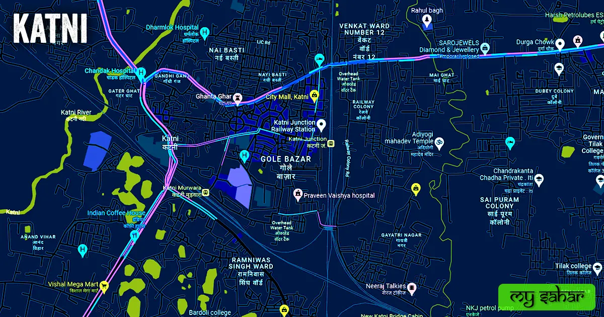
From 137km south of Rewa, there is a city situated called Katni which is an administrative center of the Katni District situated in the state of Madhya Pradesh, which is recognized for its rich natural resource endowments. It is located in Madhya Pradesh’s eastern region.
The “Katni River,” a sacred river that flows through the city, is how it got its name Katni. Along with that some mid-small factories and manufacturers are operating here like Chemical & Lime Industries, Bidi Manufacturers, Stone Crusher
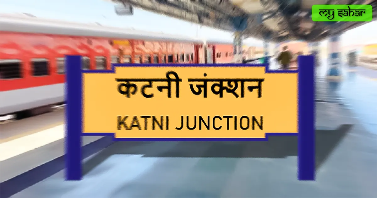
Here, several minerals, including bauxite and limestone, are discovered and exported. At the same time, Katni is renowned for its significant rail hub, from which there are lines to several cities and states. Along with this, the country’s second-largest Diesel Loco Shed (Diesel Train Engine) is located here in Katni junction.
A resident of this city called Anil Tamrakar got named in World Record Holders Club for Most Songs Request Letters Sent by an Individual in the world, he has sent more than Six Lakhs song request letters around the world. Katni was also gets named in a National Record called Limca Book of Records for using Eco-friendly carry bags made of waste newspapers. This is incredible for a city to get named in these many records.
Katni City has another name called “Murwara and The City of Marble”. Katni has been the home to several legendary temples, which serve as a sort of community intellectual center. According to the 2011 census, there were more than two lacks and twenty-one thousand residents living here. And people here speak Hindi or Sindhi languages.
Famous Roads.
- Khirhani Overbridge Road
- Mission Chowk Road
- MP State Highway 10
- Murwara Station Road
- Subhas Chowk Road
- Station Road
- Jabalpur Road
- Jai Dayal Road
- Rubber Factory Road
- Jalpa Madhiya Road
- Rani Lakhami Bai Road
- Sondhiya Gali
- LIC Road
- Adarsh Colony Road
- Jalpa Mandir Road
- NKJ Road
Famous Chowks.
- Jagannath Chowk
- Azad Chowk
- Sher Chowk
- Jawahar Chowk
- Subhash Chowk
- Vishwakarma Chowk
- Kargil Chowk
- Bharat Chowk
- Maya Chowk
- Mohan Rochlani Chowk
Rivers And Lakes.
- Katni River
- Shani Mandir Talab
- Bahriband tank
- Purana Talab
- Sarra Lake
- Singhara Tal
- Dharwara Lake
- Khandari Lake
- Surki Tank
Ways Of Transportation.

Transportation is an essential element for the development of any city, which connects the city with many other cities and also makes trade easier. The following are the means of transportation here. The major ways of transportation here are roads, rail roots, and airways.
Roads – SH-10, the sole state highway that travels through this city, links it to its surrounding towns of Barhi, Sihora, Damoh, Maihar, and Pawai. However, other roads like NH-43, NH-30, and SH-14 also run through the area nearby.
Railways – There are three main train stations in Katni, which are ( Murwara Station, Katni Junction, and South Station). Since this is a railway crossroads, there are several routes from this station to various destinations. Its station code is (KTE), and it is approximately 672.46 meters in length and 91.22 meters in width. Every month, 122 trains pass through this station.
Air travel – Since Katni lacks an airport of its own, you must go by air to the nearest airport (Jabalpur Airport), which is 96.5 kilometers to the southwest. To get there, it will take you roughly two hours and fifteen minutes.
Pin Code Of City.
Google searches for the city’s pin code are likewise frequent. The pin code’s full name is Postal Index Number Code. And “483501” is the pin code for the town’s administrative center.
Distance From Major Cities.
- Jabalpur – 96 km
- Satna – 109 km
- Rewa – 136 km
- Sagar – 187 km
- Prayagraj – 269 km
- Jhansi – 319 km
- Bilaspur – 342 km
- Mirzapur – 300 km
- Korba – 364 km
- Kanpur – 354 km
Latest Weather Updates.
Katni has an average temperature of about 25°C. Additionally, the annual average rainfall is 1112 millimeters (43 in). The town’s highest recorded temperature is 42°C, with an average low of 8.2°C. Click the link provided below to access information about the weather today in this location.
- Skymetweather.com
- Qweather.com
- Weatheravenue.com
News Agencies.
The list of notable local news organizations is shown below. These include periodicals, local news channels, newspapers, and magazines.
- Bhoomi 99 News
- The State News Hindi
- Raj Express
- Naidunia
- Zee News
Best Parks.
- KV NKJ Park
- Tulsi Garden
- Swami Vivekananda Bhawan
- Jagriti Park
- Suryama Park
- Chhaprawah Park
- Dr. Bhimrao Ramji Ambedkar Park
- Bal Vihar Park New
- Neel Kamal Garden
- Gandhi Park, Ordnance Factory
Best Hospitals.
- Navjeevan Hospital
- MGM Hospital
- Gurukripa Hospital and Endosurgery Centre
- Vijay Memorial Hospital
- Star Recovery Home
- Dharmalok Hospital
- GG Nursing Home
- Shree Hospital
- Jeevan Jyoti Hospital
- Chandak Hospital
Best Hotels.
- Shree Balaji Regency International
- Hotel Grand Meridian
- Hotel Rishi Regency
- Radhika Hotel & Restaurant
- Tulsi Hotel
- Hotel TGS
- Hotel Samdarey
- Hotel Shree Laxmi Vilas
- Hotel Raghav Regency
- Hotel Brijwasi Royal
Best Schools.
- HD Memorial Higher Secondary School
- R S Memorial HS School
- New Public School Kuthla
- West Central Railway Primary School
- Government New Middle School Paharua
- Government Middle School Bargwa
- Dva ACC Public School
- Bachpan Play School
- WCRH Secq. School NKJ
- St. Paul’s Senior Secondary School
Best Colleges.
- Nalanda College of Science and Commerce
- Rajiv Gandhi College
- Asha Private ITI
- Silicobite Katni Degree College
- Vardhman B. Ed College
- Government Tilak PG College
- SNS College
- Government Girls College
- Bardoli College
- Katni Arts and Commerce College
Geography Of Katni.

Katni has the area code 07622. About 304 meters above sea level would be its height. In “MP-21”, vehicles including motorcycles, automobiles, and other types of transportation are registered here. The city has a 24 sq. km. area. This area contains “26 police stations” in total.
Official Government Websites.
- Official website of this city – Click here.
- Municipal Corporation’s website – Click here.
- Official Police Website – Click here.
Famous Areas Of City.
- Gole Bazar
- Jharra Tikuriya
- Mangal Nagar
- Gayatri Nagar
- Madhav Nagar
- Shanti Nagar
- Madhav Nagar
- Chanehata
- New Katni
- Kharahni
- Balaji Nagar
- Tilriya
- Mai Ghat
Famous Places To Visit.
- Jagriti Park
- Vijayraghavgarh Killa
- Rupnath Pilgrimage Sthal
- Badera Chaturyuga Dham
- Roopnath Dham
- Radha Krishna Temple
- Bilhari
- Maa Vaishnav Devi Dham
- Bahoriband
- Vishnu Varaha Temple Karanpur
- Kamakandla Kila